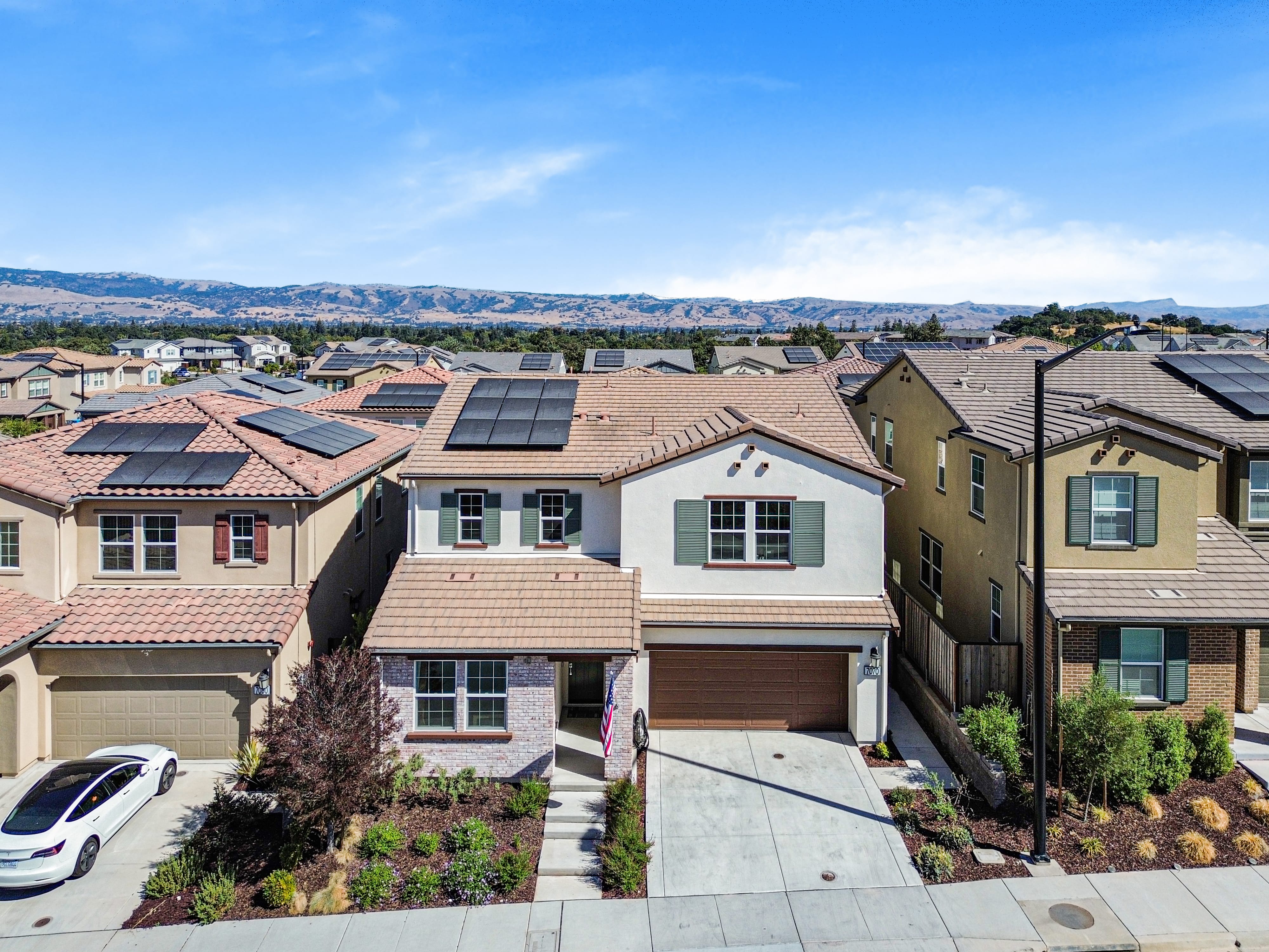
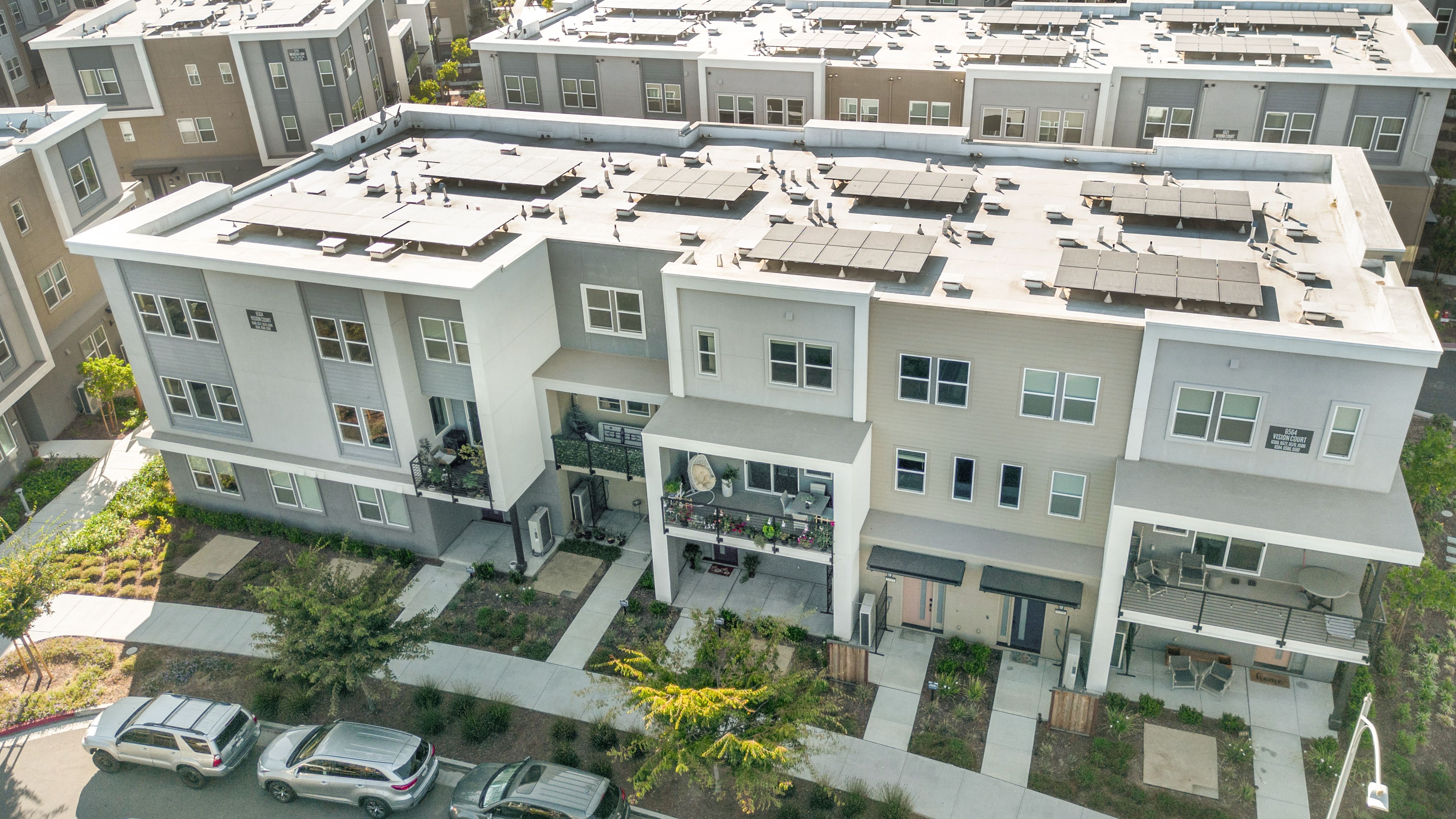
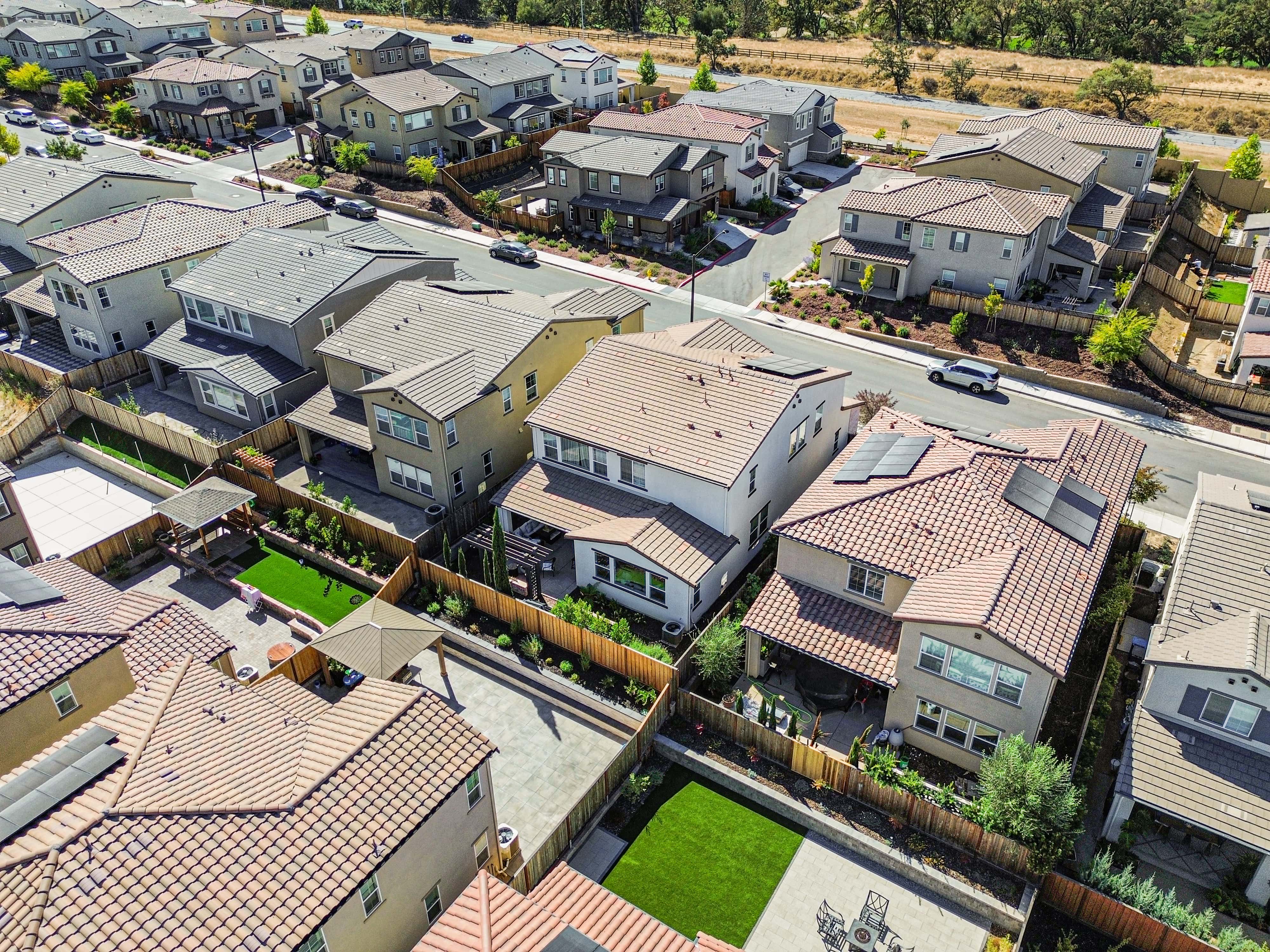
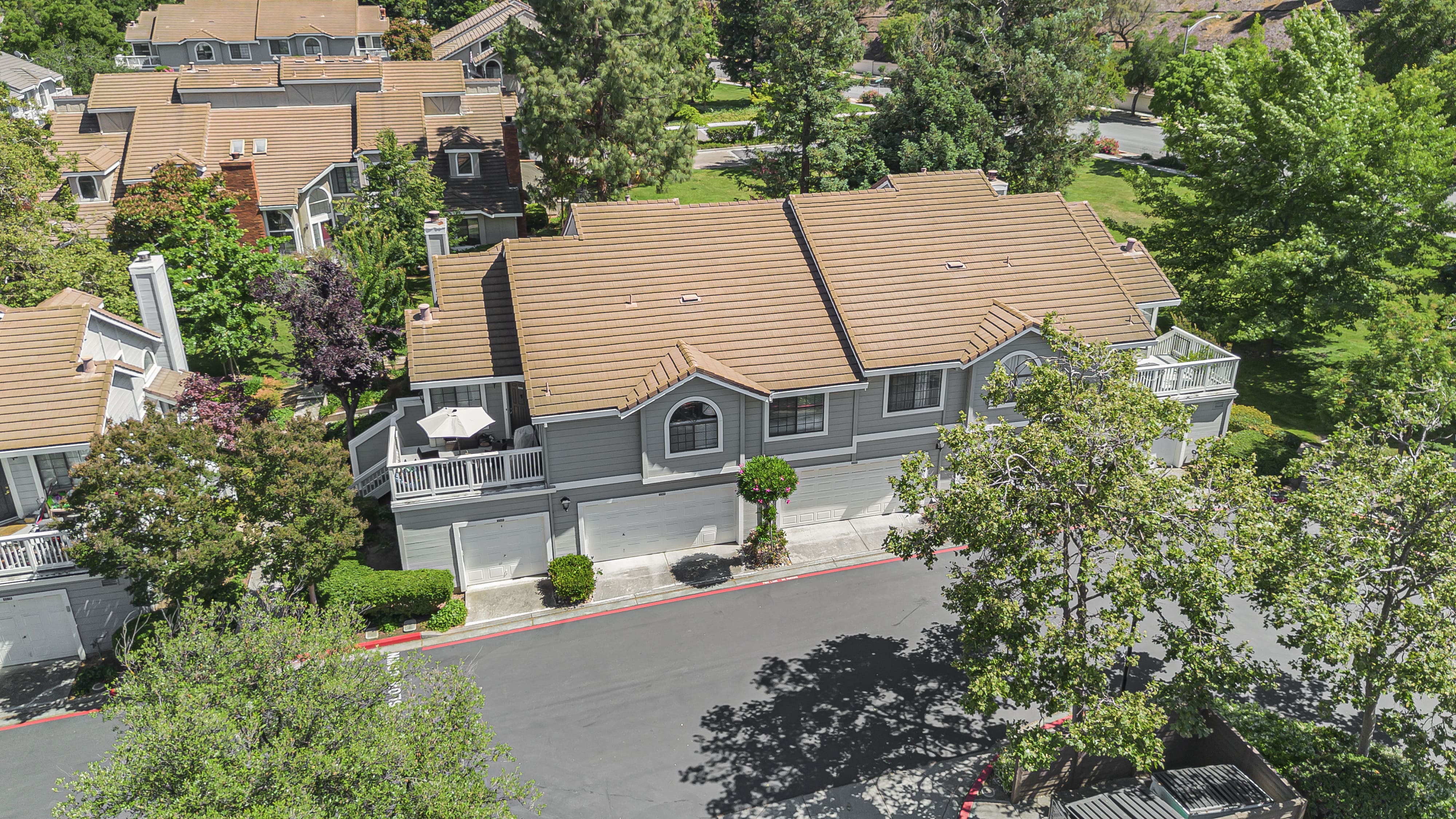
Why Drone Makes a Difference
Show the full layout and lot size ,Highlight views, proximity to parks, downtown, or open space and deal for large lots, corner homes, or properties with outdoor features
book nowEditing Details
Clear blue sky enhancement, cropped for MLS or print And Smooth, high-resolution exports included
book nowPicture-Perfect Results


PRICING & PACKAGING
Our Pricing Plans
Sq Ft Range
Price
0–2,000 sq ft
2,000–3,000 sq ft
3,000–4,000 sq ft
Frequently Asked Questions
How many photos are included?
Typically 5–10 well-composed aerials per session.
Are you FAA-certified?
Yes, all drone operators are licensed and fly safely.
What if it’s cloudy?
We include sky replacements in editing — no extra charge.
Find Answers to Your Questions
Have questions? We've got answers, our FAQ covers everything you need to know to get started with confidence.
Get a Quote In A Minute
Easy, Fast Booking — Just Tell Us About Your Property
Thank you! Your submission has been received!
Oops! Something went wrong while submitting the form.